
07 Sep Post-Rain Drainage Check
A capsule house drainage inspection after heavy rain should compare actual water movement with the site’s expected drainage pattern. Operators can record ponding, blocked flow paths, erosion, support-area changes, service-route exposure and visible moisture indicators, then escalate findings to the responsible professionals.
This is not a drainage, waterproofing, geotechnical or structural assessment. Rainfall thresholds, capacities and repair methods must come from local designers, authorities and qualified contractors for the actual site.
Prepare a Safe Inspection Route
Wait until the responsible site team confirms that access is safe. Avoid moving water, unstable slopes, electrical hazards, damaged trees, undermined surfaces or restricted areas. Use approved personal protection and do not enter roofs, excavations or confined areas without the required controls.
Bring the site plan, previous photographs and drainage maintenance record. A comparison is more useful than an isolated image.
Record Rain and Timing Context
Record the observation time, available rainfall information from an appropriate local source, duration, recent prior rain and whether flow was still active. Do not convert an unofficial reading into a design conclusion.
Note changes made since the last inspection, including grading, paving, landscaping, trenches, decks, stored materials or construction activity.
Follow Water From Upstream to Discharge
Observe where water approaches the unit area, how it moves across surfaces, whether drains or channels are obstructed, where it ponds and where it leaves the site. Record overflow, bypass, debris, sediment and unexpected flow toward foundations or service points.
Do not clear a blockage while conditions remain unsafe. Assign work through the site’s approved maintenance process.
Post-Rain Observation Register
| Area | Observe | Escalate when |
|---|---|---|
| Approach flow | Direction, debris and unexpected concentration | Flow reaches vulnerable areas |
| Drainage route | Blockage, overflow and erosion | Route no longer performs as expected |
| Supports | Ponding, scour, sediment or visible change | Ground or support condition changed |
| Utilities | Exposed routes, covers and water proximity | Service safety may be affected |
| Unit | Visible water entry, staining or new condition | Active entry or progressive change appears |
Check Supports and Adjacent Ground
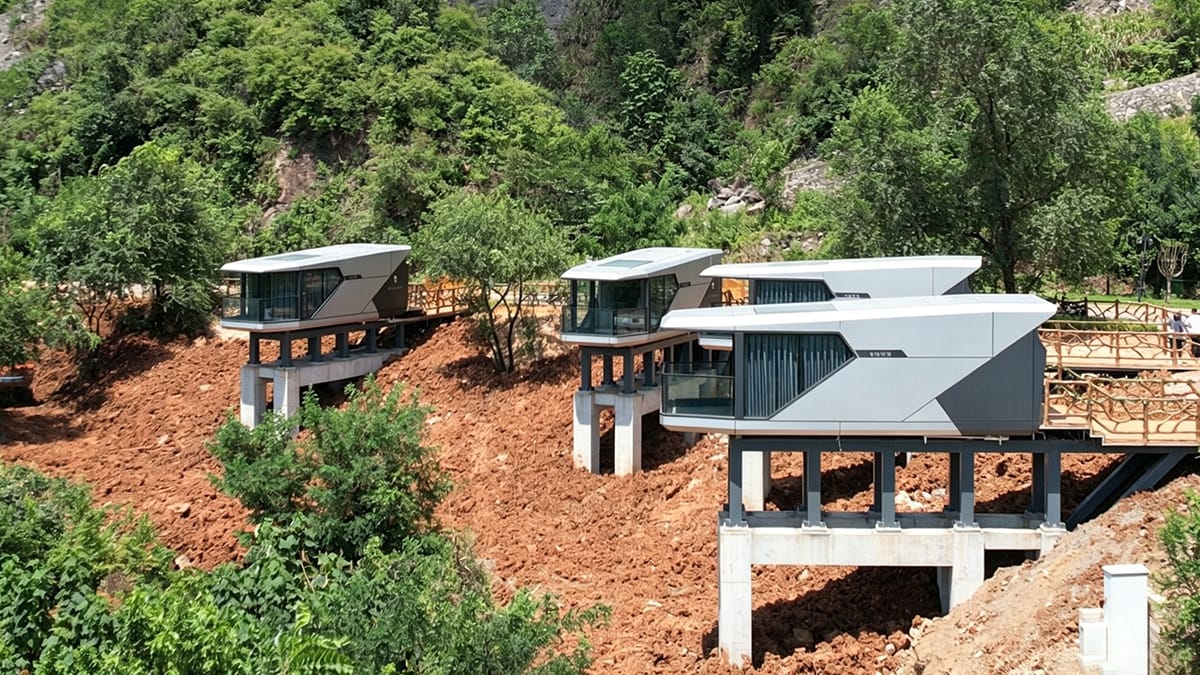
Record visible ponding, scour, settlement indicators, exposed material, new cracks nearby, loss of surface protection or debris accumulation. Observations are escalation triggers, not a diagnosis. Do not adjust supports or anchors.
The foundation design inputs checklist explains why terrain, ground information and drainage must be coordinated before design.
Inspect Service Routes and Unit Edges
Observe utility trenches, covers, penetrations, external connections, steps and deck interfaces from safe locations. Record any new water path, exposed route or blocked access. Qualified parties must assess electrical or other service hazards.
Inside accessible areas, record visible water, staining, unusual odor or changed finishes without assuming the source. Link findings to the maintenance record.
Control Immediate Actions and Follow-Up
Use the approved site process to restrict access, protect property and escalate active hazards. Record who authorized each temporary action. Permanent drainage or waterproofing changes require design review where applicable.
Compare the event with the severe-weather readiness plan and update responsibilities when evidence shows a gap.
To coordinate available unit-interface information, contact Rovellc with the selected configuration, site records and non-sensitive observations. Local professionals must diagnose and design corrective work.